Sfakia, Crete: The Wild South Coast Where the Road Runs Out
There is a point on the drive south from Chania where the road stops pretending to be reasonable. You cross the Askyfou plateau, a green saucer of a valley ringed by peaks that hold snow into May. Then the tarmac tips over the edge of the White Mountains and begins to fall. Hairpin after hairpin, no barrier worth trusting, the Libyan Sea a flat blue rumour somewhere below.
This is the road into Sfakia. It has been filtering out the half-hearted for a very long time.
Sfakia is not a single village but a whole region on Crete’s rugged southern flank. A knot of gorges, goat tracks and fishing hamlets that Venetians, Ottomans and eventually the Wehrmacht all tried to pin down. None quite managed. Some of its villages still have no road at all — you arrive by boat, or you do not arrive.
This is the Crete that existed before package tourism. Still going about its business, a little further south and a little further up than most visitors bother to reach.
For four hundred years, Sfakia was the one corner of Crete that nobody quite managed to rule. The mountains saw to that — and in their own way, they still do.
Where the Mountains Meet the Libyan Sea
Sfakia occupies the south-central stretch of the Chania regional unit, on the island of Crete. It is not a separate corner of the mainland — just the part of Crete that geography made difficult. The Lefka Ori, the White Mountains, form its spine. This limestone massif holds snow deep into spring. It tops out at Pachnes, just over 2,450 metres — the second-highest peak on the island after Psiloritis.
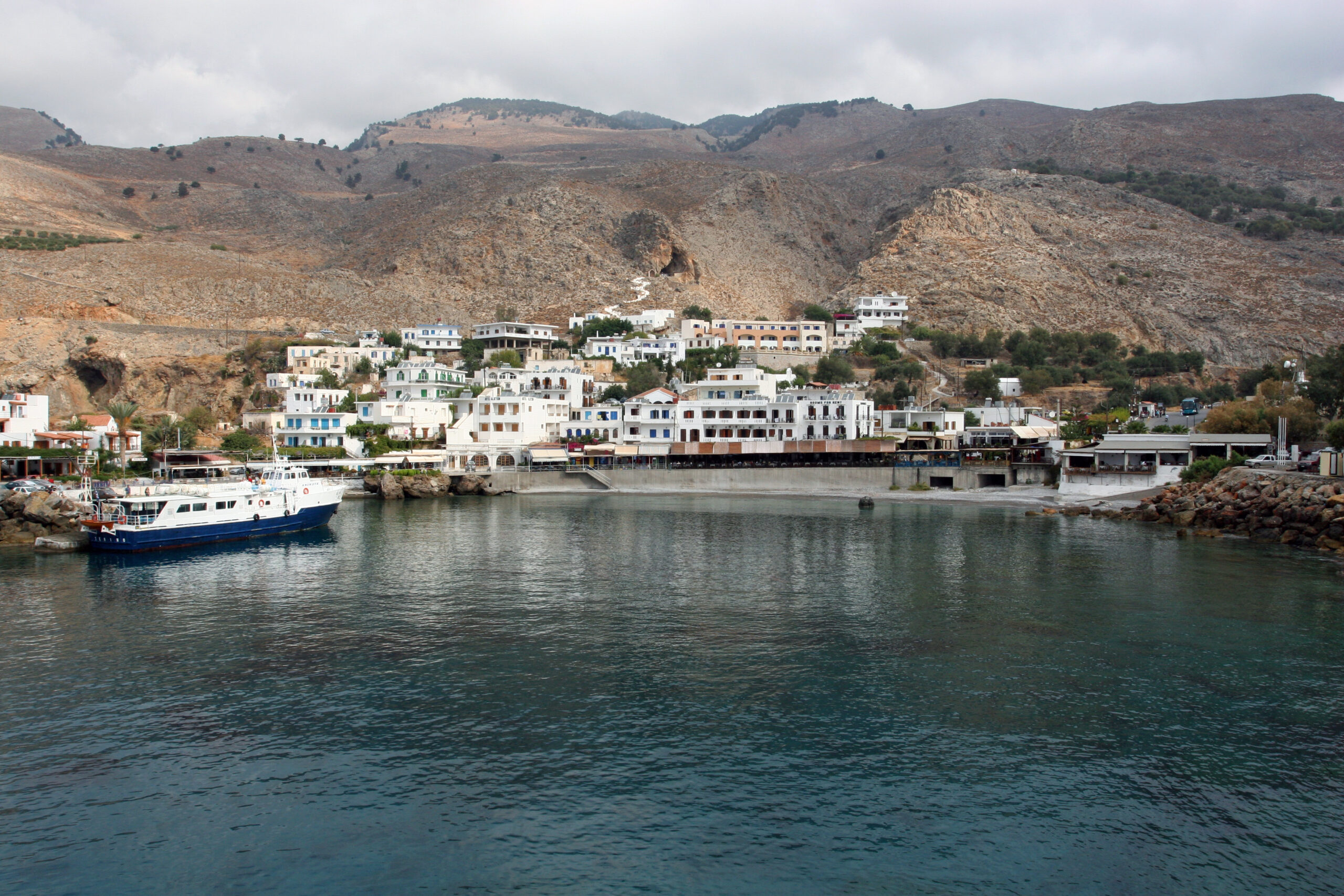
South of that spine, the land does not so much slope to the sea as fall into it. Cliffs drop straight into the Libyan Sea — the stretch of Mediterranean between Crete and North Africa. Locals are particular about that distinction. In places the cliffs are too sheer and too remote to justify a coastal road. So there isn’t one.
Villages that elsewhere in Greece would be linked by a lazy afternoon’s drive are instead linked by boat. A boat was always going to be cheaper than blasting a highway through a cliff face nobody but goats had asked for.
Gorges, Griffon Vultures and the Kri-Kri
The gorges are the other defining feature. A dozen or more cut the Lefka Ori from north to south, carved by water that mostly isn’t there any more. Crete’s rivers run hard in winter and vanish by July. Several gorges are walkable, from short scrambles through lesser-known ravines to the two-day traverse some hikers stitch together along the coast.
Overhead, griffon vultures ride the thermals in lazy, patient circles. If you are quiet and lucky on one of the higher trails, you might catch the clatter of hooves on scree. That means a kri-kri, Crete’s endangered wild goat, has decided you are not worth hiding from.
A Region That Was Never Really Conquered
Sfakia’s reputation for defiance is not tourist-brochure colour. It is the throughline of the place’s actual history. Under four centuries of Venetian rule, the Lefka Ori sheltered repeated revolts that the Republic never fully put down.
When the Ottomans took over after the fall of Candia in 1669, they inherited the same problem. A mountain population paying as little attention to the new flag as it had to the last one.
Daskalogiannis and the Revolt of 1770
The defining chapter came in 1770. Ioannis Vlachos, a wealthy shipowner from the village of Anopoli, was educated enough to earn the nickname Daskalogiannis — “Teacher John.” He was drawn into the Orlov Revolt, a Russian-instigated uprising timed to coincide with the Russo-Turkish War. In the spring of that year, he gathered around 2,000 armed Sfakians.
They struck at Ottoman positions across the region, expecting the Russian fleet under Count Orlov to land in support. The fleet never came. The Ottomans responded with a force reported at some 15,000 men. They burned their way through Sfakian villages.
Daskalogiannis, hoping to spare what was left of his people, surrendered at Frangokastello in 1771. He was taken to Heraklion and flayed alive on 17 June that year. Witnesses said he endured it in silence. His bust stands in the square at Anopoli today. Locals still mark his memory with rizitiko songs and the pentozali, a dance with more than a little swagger in its footwork.
The Battle of Crete and the Chora Sfakion Evacuation
The next defining moment arrived under a different occupier entirely. During the Battle of Crete in May 1941, German airborne forces overran the island’s defenders in the north within days. With the northern ports lost, Allied command ordered what remained of the garrison south — over the Lefka Ori on foot. Their destination: the one harbour still theoretically reachable, Chora Sfakion.
Between 28 May and 1 June, the Royal Navy lifted around 10,000 Allied soldiers off that small beach. They sailed at night to stay under the worst of the Luftwaffe’s reach. Not everyone made it out. Some units were left to face capture when the ships ran out of room.
A number of stragglers scattered into the White Mountains rather than surrender. Sfakian villagers sheltered them at considerable risk. A memorial plaque in the village today quietly records that some of those villagers paid for it later at German hands.
Frangokastello and the Siege of 1828
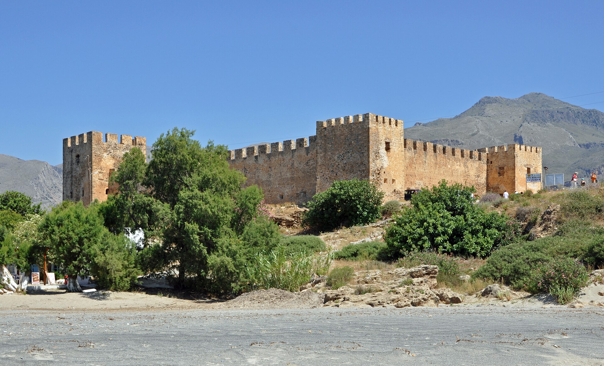
East along the coast from Chora Sfakion, the Venetian fortress of Frangokastello sits on a flat, sandy plain. The White Mountains stack up behind it. It was built in 1371 to deter pirates and keep an eye on the unruly Sfakians. It was not especially successful at either.
Its real fame dates to 17 May 1828. Hatzimichalis Dalianis, a chieftain from Delvinaki in Epirus, led some 350 Greek fighters here during the War of Independence. He hoped to hold the fort as a forward base against the Ottomans. A much larger Ottoman force besieged them for seven days. Dalianis and his men were killed. Their bodies lay unburied on the plain until wind carried enough sand from the nearby dunes at Orthi Ammos to cover them.
The Drosoulites: Ghosts at Dawn
What happened next is the part locals actually want to tell you about. Every year, close to the anniversary in mid-to-late May, witnesses report the same thing. A silent procession of shadowy, armed figures moves at dawn from the Agios Charalambos monastery toward the ruined fort. These are the Drosoulites, or “dew men,” named for the hour they supposedly appear.
The tidy explanation is a Fata Morgana. Hot air over the plain bends light from somewhere out over the sea, producing a mirage. The story locals prefer is that these are Dalianis’s men, still marching. Reports claim Ottoman troops fled in panic at the sight of them in 1890. German soldiers in the Second World War reportedly opened fire on the apparitions, hitting nothing.
Whatever you make of it, the fort itself is worth the walk around its walls. The beach below is Orthi Ammos, backed by real sand dunes rather than Sfakia’s usual pebbles. It is one of the easiest on this coast to simply drive to.
Getting to Sfakia: The Road and the Buses
Chora Sfakion sits around 70–75 kilometres from Chania, and the map will lie to you about how long that takes. Budget at least an hour and a half, more in high season. The route runs via Vrysses and the Askyfou plateau before dropping through the switchbacks alongside Imbros Gorge to the coast.
It is slow by necessity, and genuinely one of the best drives on the island. Your passengers may disagree if they’re on the drop-off side with no guardrail. KTEL buses run the same route from Chania’s central station. In high season, they connect with the Samaria Gorge hikers’ return ferries. Schedules shift with the season, so check current times before you rely on one.
The Anendyk Ferry Network
The boats are really the region’s circulatory system. Anendyk Seaways operates the ferry network linking Chora Sfakion, Loutro, Agia Roumeli, Sougia and Paleochora. The route extends to the remote islet of Gavdos — Europe’s southernmost point. The timetable expands in summer and contracts sharply in winter.
For several villages along this coast, including Loutro and Agia Roumeli, there is no other way in or out. Fares below are a guide only, drawn from Anendyk’s own published 2026-season pricing. Always confirm times and prices directly before you travel.
| Route | Approx. duration | Approx. fare (adult) |
|---|---|---|
| Chora Sfakion ↔ Loutro | 20–30 minutes | around €7 |
| Chora Sfakion ↔ Agia Roumeli | around 1 hour | around €14 |
| Sougia ↔ Agia Roumeli | around 45 minutes | around €12.50 |
| Paleochora ↔ Agia Roumeli | around 1 hour 45 minutes | around €19 |
| Chania (Souda) ↔ Paleochora | around 1.5 hours | around €18.50 |
Carry cash for tickets and tavernas alike — card machines are not a given in villages this small. If you’re hiking Samaria and returning by ferry, buy your boat and bus tickets together that morning. Seats are limited, and the alternative to a reserved spot is a long wait or a long walk.
Readers who’d rather do their gorge-walking on the mainland should look at our guide to Zagori and the Vikos Gorge — a different kind of dramatic, with stone villages instead of ferry piers at each end.
Walking Out of Europe’s Grandest Gorge
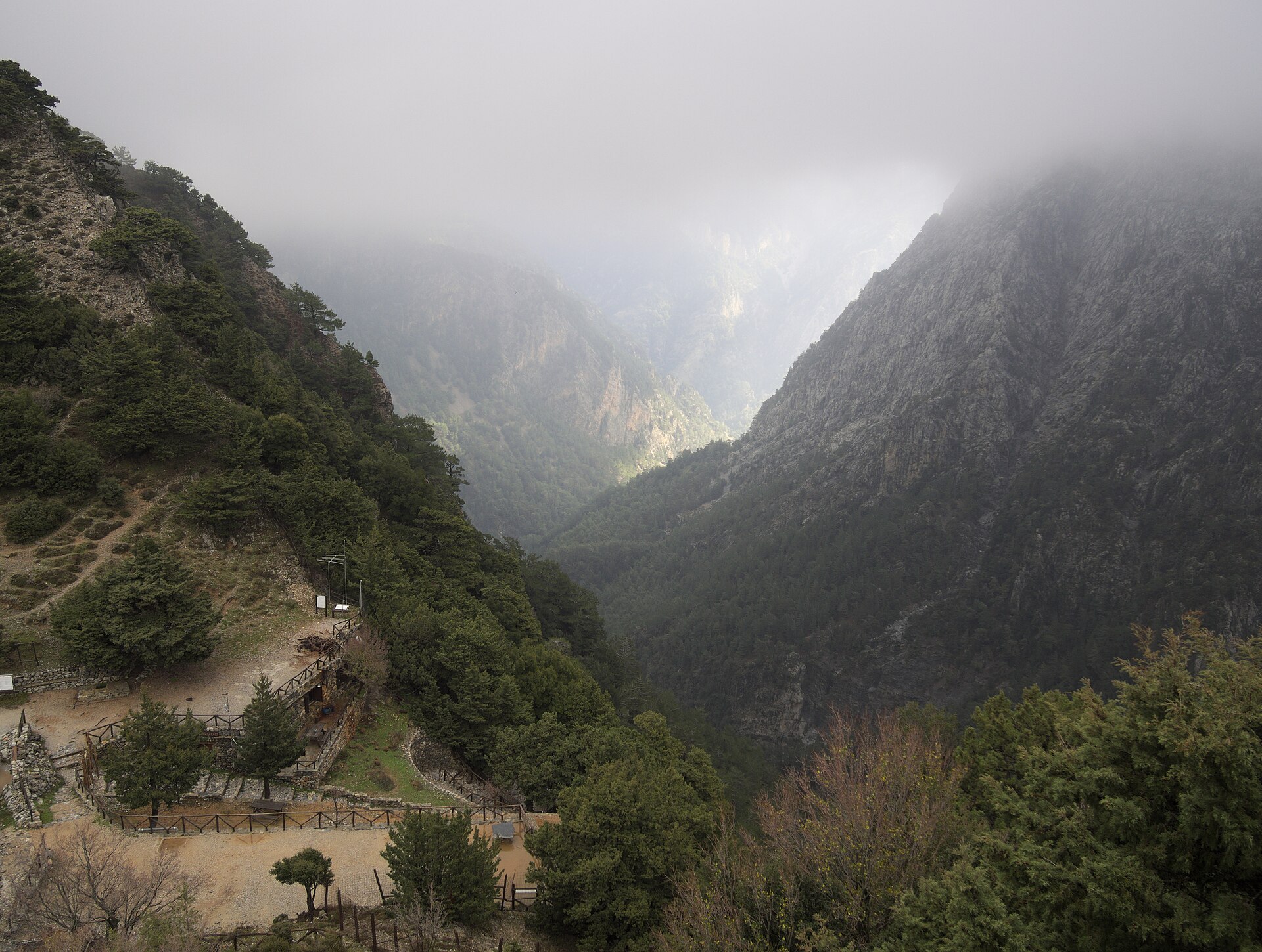
Samaria Gorge is the reason most people first hear the word Sfakia at all. It earns the fame even if it no longer offers solitude. The trail begins at Xyloskalo, near the mountain village of Omalos. It drops down a stepped switchback path built in Ottoman times, past the small chapel of Agios Nikolaos.
Then the gradient eases and the gorge proper opens out. You’ll pass the abandoned village of Samaria itself. It was inhabited until 1962, when the area became a national park and its residents were relocated. Its stone buildings now serve as a ranger clinic and research lodging.
Beyond the village, the walls close in again at the Sideroportes, the “Iron Gates.” At the narrowest point, they stand barely four metres apart. Rock climbs hundreds of metres overhead on both sides.
What to Expect on the Trail
Call it sixteen kilometres of proper gorge trail from Xyloskalo to the old village and the Iron Gates. A further, gentler stretch beyond that reaches Agia Roumeli and the sea — close to eighteen kilometres in total.
Most hikers take between five and seven hours. That depends on pace, and on how often you stop for photos of the kri-kri you will probably never actually see. They’re shy. The clatter of a few hundred hikers a day has taught them well.
The gorge is a UNESCO Biosphere Reserve and has been a national park since 1962. It is typically open from around 1 May to 31 October, weather and rockfall risk permitting. Closures happen at short notice on days of extreme heat or wind. Check current status before you commit a whole day to it.
Buy your entry ticket online in advance if you can. Start as close to the gate’s opening as you can manage. Carry more water than seems reasonable — by midsummer, some of the trailside sources have run dry.
Imbros Gorge, the Quieter Understudy
One valley over, Imbros Gorge offers almost everything Samaria does in miniature. At eight kilometres and roughly 600 metres of descent, it takes most walkers two to three unhurried hours. The path narrows to under two metres at its tightest without ever demanding much more than sturdy shoes and reasonable footing.
Unlike Samaria, both ends sit on a real road, so there’s no ferry to plan around. The gorge stays open more or less year-round, including early spring when Samaria is often still closed. It won’t give you Samaria’s scale. But for families, or anyone short on a full day, it’s the better call. It also works well as an easier warm-up the day before the big one.
| Samaria Gorge | Imbros Gorge | |
|---|---|---|
| Length | ~16–18 km to Agia Roumeli | ~8 km |
| Typical time | 5–7 hours | 2–3 hours |
| Season | Roughly May–October, weather permitting | Essentially year-round |
| Getting back | Ferry from Agia Roumeli required | Drive or bus — no boat needed |
| Best for | A full-day, iconic hike | Families, spring visits, tight schedules |
Loutro: The Village You Reach Only by Boat
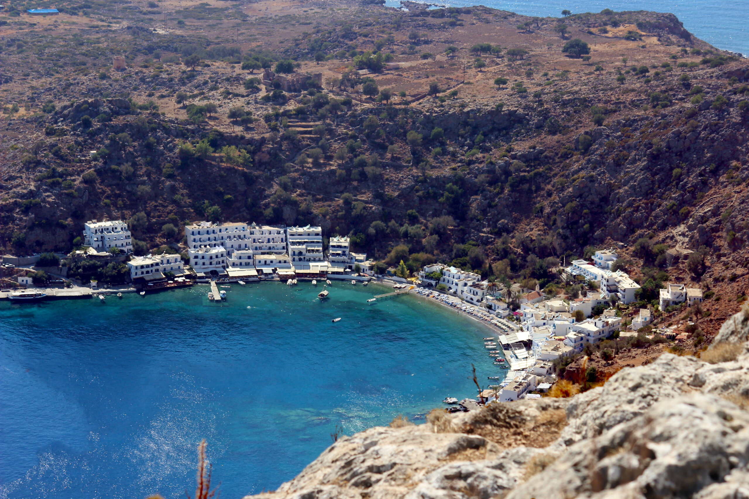
No road has ever reached Loutro, and none is coming. Cars stop at Chora Sfakion in one direction and somewhere around Anopoli and Aradena in the other. Everyone continues by sea or on foot.
What they arrive at is a small, near-perfect crescent bay — the ancient port of Anopolis, known then as Finikas. Whitewashed houses ring the shore, and a ruined hilltop fort watches over the water. The ferry from Chora Sfakion takes twenty to thirty minutes. Long enough to watch the bay open up ahead of you before you’ve had time to get comfortable.
After the Last Boat Leaves
Loutro works on two different clocks. From late morning until the last afternoon boat, it belongs to day-trippers, and the waterfront tavernas fill accordingly. After that boat pulls away, the village exhales.
The version of Loutro worth experiencing only shows up for people staying the night. Quiet tables, the sound of water against the harbour wall, nowhere in particular to be. There are no real shops, so stock up in Chora Sfakion before you cross. Bring cash; cards are not something every small hotel or taverna here reliably takes.
Greece has other well-known car-free settlements. Hydra in the Saronic Gulf is chief among them. But Loutro’s isolation runs a layer deeper: Hydra banned vehicles by choice. Loutro simply never had the option.
The coastal section of the E4 long-distance path runs straight through here. It links Chora Sfakion, Loutro, Sweet Water Beach and Agia Roumeli. Hikers with a full day and sturdy ankles walk it end to end. The ferries cover the same ground in considerably less strenuous chunks for everyone else.
Anopoli, Aradena and the Bridge at the Edge of Nothing
From Chora Sfakion, the road climbs hard again toward Anopoli — Daskalogiannis’s birthplace and, at more than 600 metres up, a different climate entirely from the coast below. Alpine meadow replaces Libyan Sea heat. The man’s bust stands in the village square where his memory is still marked each year.
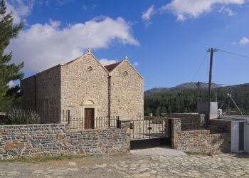
Push on and the road ends at Aradena. This village emptied out through the twentieth century. Locals will tell you a family vendetta had as much to do with it as anything economic. This is a part of Crete not unlike the Mani peninsula — defined by blood feuds and stubborn independence.
What Aradena has now is mostly stone shells and a small working chapel. Beyond the last houses, the gorge that gives the village its name slices the ground open.
The Highest Bungee Jump in Greece
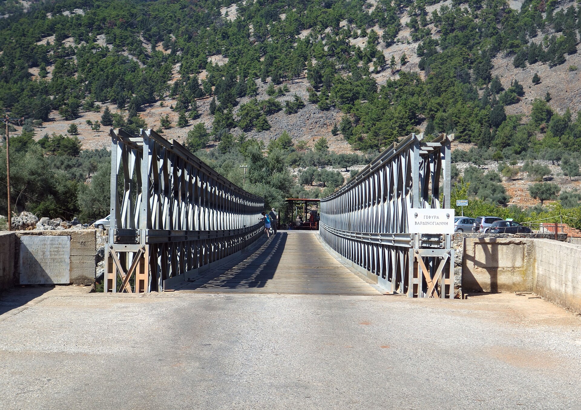
Since the 1980s, that gorge has been spanned by the Aradena Bridge — 138 metres up at its highest point. It is the tallest bungee jump platform in Greece, and among the highest in Europe. A licensed operator runs jumps seasonally on summer weekends.
You don’t need to jump to feel it. Walking out onto the deck and looking straight down into the gorge does most of the work on its own.
A path from near the bridge drops into the gorge and out to Marmara Beach. The beach is named for pale, marble-like stones scattered at its mouth. They turn the shallows a shade of turquoise that looks faintly unreasonable in photographs. Unlike Loutro or Agia Roumeli, boats running the summer coastal route will often stop here too.
Ask anyone in Anopoli about Daskalogiannis and you won’t just get a history lesson — you’ll get an explanation of who these people still believe themselves to be.
What Sfakia Eats: Cheese Pies, Raki and Whatever the Sea Gives Up
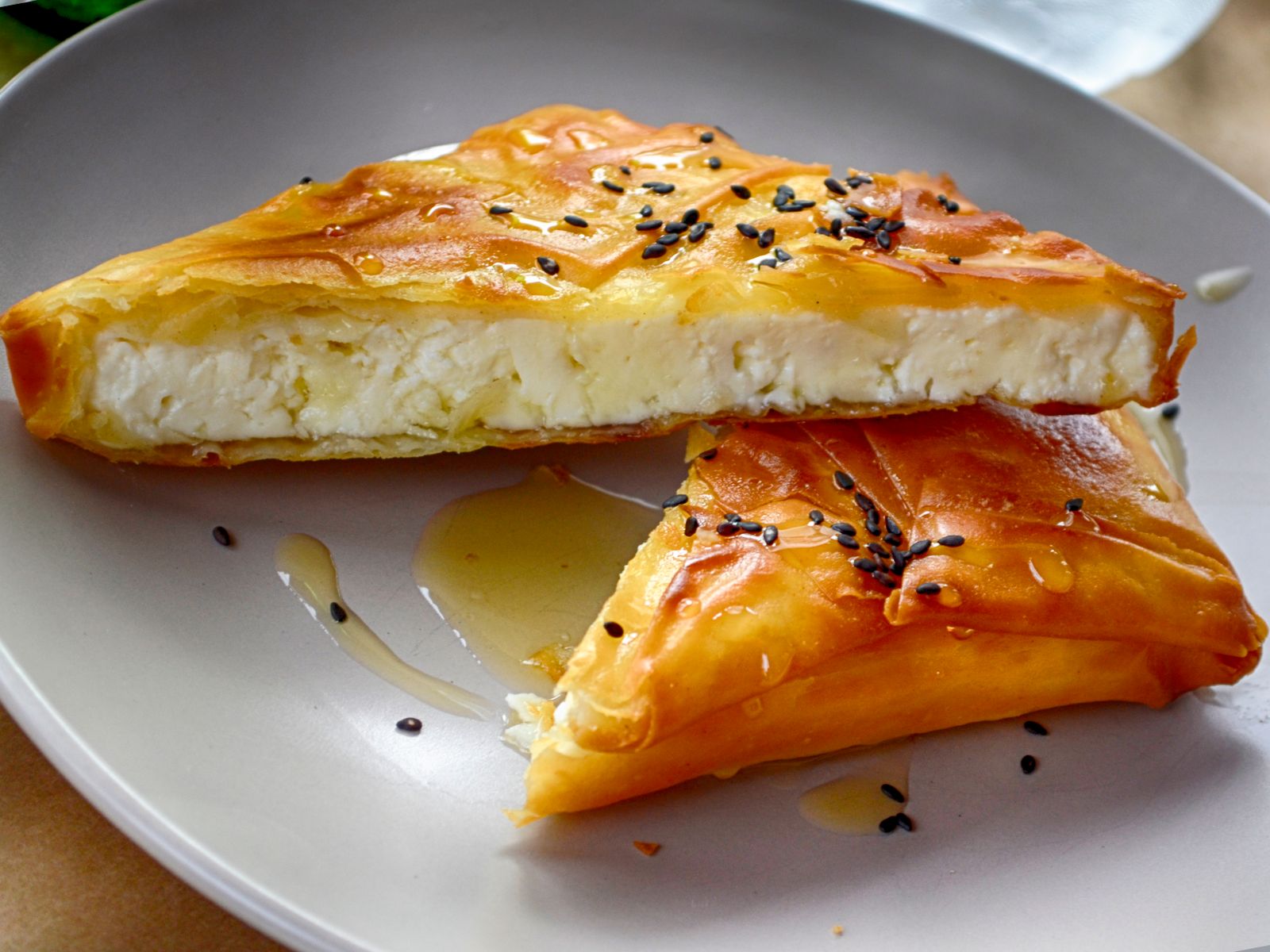
Sfakia’s one genuinely famous dish is sfakiani pita. These are thin rounds of dough, pan-fried without oil or butter, folded around a filling of xynomizithra. That is a soft, tangy, sour goat’s-milk cheese found across Crete but strongly associated with this region. The pita is finished with a drizzle of local thyme honey.
Family recipes across Sfakia trace the dish specifically to Anopoli. The German philologist Michael Deffner tasted it on a visit to Crete in the early twentieth century. He reportedly declared that no king had ever eaten as well. A fairly high bar for fried dough and cheese, and one it more or less clears.
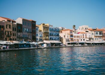
Beyond the pita, food here follows the coast’s general rhythm: simple, unfussy, built around what came off a boat that morning. The tavernas lining Chora Sfakion’s harbour serve grilled fish and the island’s usual repertoire of dips and greens. A small glass of raki — tsikoudia, the Cretan grape spirit — tends to appear at the end of a meal. Nobody will have asked whether you wanted it. Treat that as hospitality rather than a suggestion.
The Beaches of the Libyan Sea
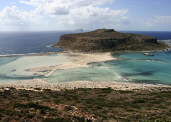
Because so much of this coast has no road, its beaches stay emptier than anything comparable on Crete’s north shore.
Sweet Water Beach — Glyka Nera — is reachable only by boat or by walking the E4 from Loutro or Chora Sfakion. It takes its name from freshwater springs that surface through the pebbles right at the waterline. Local telling holds that those springs once helped fugitives and resistance fighters survive out here unnoticed. Springs being springs, this is entirely plausible.
Marmara Beach, at the mouth of Aradena Gorge, trades on those pale stones and startlingly clear water. Frangokastello offers the coast’s easiest sand, at Orthi Ammos and the quieter Vatalos alongside it. Both are reachable by car and considerably more forgiving underfoot than Sfakia’s usual pebble coves.
Virissi Beach, right at Chora Sfakion itself, is simply the village’s own swimming spot — the one requiring no boat, no hike, and no planning at all.
None of these operate at the sunbed-and-umbrella scale you’ll find on the north coast. Expect a handful of free umbrellas if you’re lucky. Bring your own shade and water. Any beach without road access runs on the sea’s schedule, not yours. Check the last boat time before you get too comfortable.
When to Go and How to Plan Your Days
April through June and September into October give you the best of Sfakia. It is cool enough for serious walking, with wildflowers on the higher trails in spring. Both gorges are most likely to be open and manageable in these months.
July and August bring reliable heat, the fullest ferry timetable and every taverna open. Expect considerably more company on the Samaria trail and the Loutro day-boats. Winter effectively closes the region down. Many small hotels shut, boat frequency drops sharply, and Samaria closes outright. That leaves Imbros as the one dependable hike.
If you want the coastal quiet without the winter shutdown, September remains Greece’s best-kept secret. Sfakia rewards that timing better than almost anywhere else on the island.
A Suggested Itinerary
Give the region more than a day trip if you can. Basing in Chora Sfakion, or pushing a night or two out to Loutro, buys you the empty-village hours that day-trippers never see.
Set aside a full day for Samaria, starting at dawn. A half-day for Imbros if your schedule is tighter or the bigger gorge is closed. An afternoon for Frangokastello and its ghost story. At least one day for the Anopoli–Aradena road and the bridge. A rental car helps, ideally with a driver who isn’t rattled by a drop-off with no barrier.
None of it is difficult to arrange. It just asks you to move at the pace the mountains and the ferry timetable set, rather than the one you arrived with.
Sfakia doesn’t perform for visitors, and it isn’t trying to. The villages here got by for centuries without much outside attention. In the case of the ones with no road in, they are still arranged as if that attention were optional.
That is precisely the reason to make the drive over the mountains, or the ferry ride along the coast. Not for a postcard. For a working idea of what most of Crete looked like before the roads and the resorts arrived.
The information in this article was researched and verified as of July 2026. Prices, transport options, schedules, and conditions may have changed since publication — we recommend double-checking key details before your trip.